ASSESSMENT OF THE ECOLOGICAL STATUS OF THE FRENCH MEDITERRANEAN ROCKY COASTLINE
The CARLIT network is operated by the Mediterranean Institute of Oceanology with the support of the Rhone Mediterranean and Corsica Water Agency.
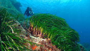
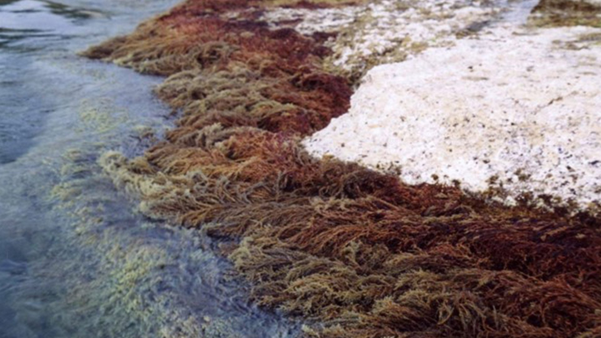
Within the framework of the WFD-Mediterranean Coastal Rhone Basin monitoring, the implementation of the descriptor ‘Macroalgae’ has been done since spring 2007 using the CARLIT method. The rocky communities of the medio- and infralittoral stages (upper fringe of the infralittoral stage often emerged), the geomorphology and the nature of the rock were mapped at a scale of 1 :2500. A level of ecological sensitivity to disturbance on a scale of 1 (not very sensitive) to 20 (very sensitive) was assigned to each community. The communities with the highest sensitivity levels represent the climax communities of the littoral zone.
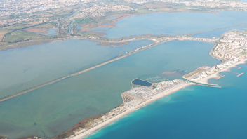
Through a geo-referenced analysis, an environmental quality index is calculated, and thus makes it possible to determine, for each body of water, an ecological status established according to the criteria of the European Water Framework Directive. The sedimentary coastlines are ignored except for the very closed natural bays where phanerogams can be abundant, as well as the interior of ports and marinas. These last two areas are too disturbed and require the use of other indices such as water analysis. The entire French Mediterranean rocky coastline has been mapped since 2007. A second wave of assessment has started since 2012.
The CARLIT (CARtographie LITtorale) method developed by Ballesteros et al. 2007, consists of measuring the abundance and distribution of dominant macroalgal communities or species present on rocky substrates of the mediolittoral stage and the upper horizon of the infralittoral stage (0-50 cm depth) as a function of the geomorphology of the coast (presence of cliffs higher than 15 m) and the nature of the substrate (natural, artificial, etc.). The abundance of communities is mapped from a small boat following the coastline as close as possible to the shoreline and at 4-5 km/h. The method is therefore not applicable to water bodies with a sandy coastline, where the macroalgal descriptor is not relevant. By a georeferenced analysis, an environmental quality index (EQR) is calculated, and thus allows to determine, for each water body, an ecological status (ES) established according to the criteria of the European Framework Directive on water.
Contacts : Aurélie Blanfuné (aurelie.blanfune-thibaut@univ-amu.fr) and Thierry Thibaut (thierry.thibaut@univ-amu.fr)
Project leader : Mediterranean Institute of Oceanology (MIO) – http://www.mio.univ-amu.fr
Update frequency : Every three years
Partners : Rhone Mediterranean and Corsica Water Agency
Study reports

[2008 ] Rapport final – ATLAS
[2009] Rapport final – ATLAS
[2010] Rapport final – ATLAS
[2011] Rapport final – ATLAS
[2014] Rapport final – ATLAS
[2017] Rapport final – ATLAS
Associated scientific publications
/