MONITORING THE QUALITY OF LAGOON WATERS IN THE FRENCH MEDITERRANEAN
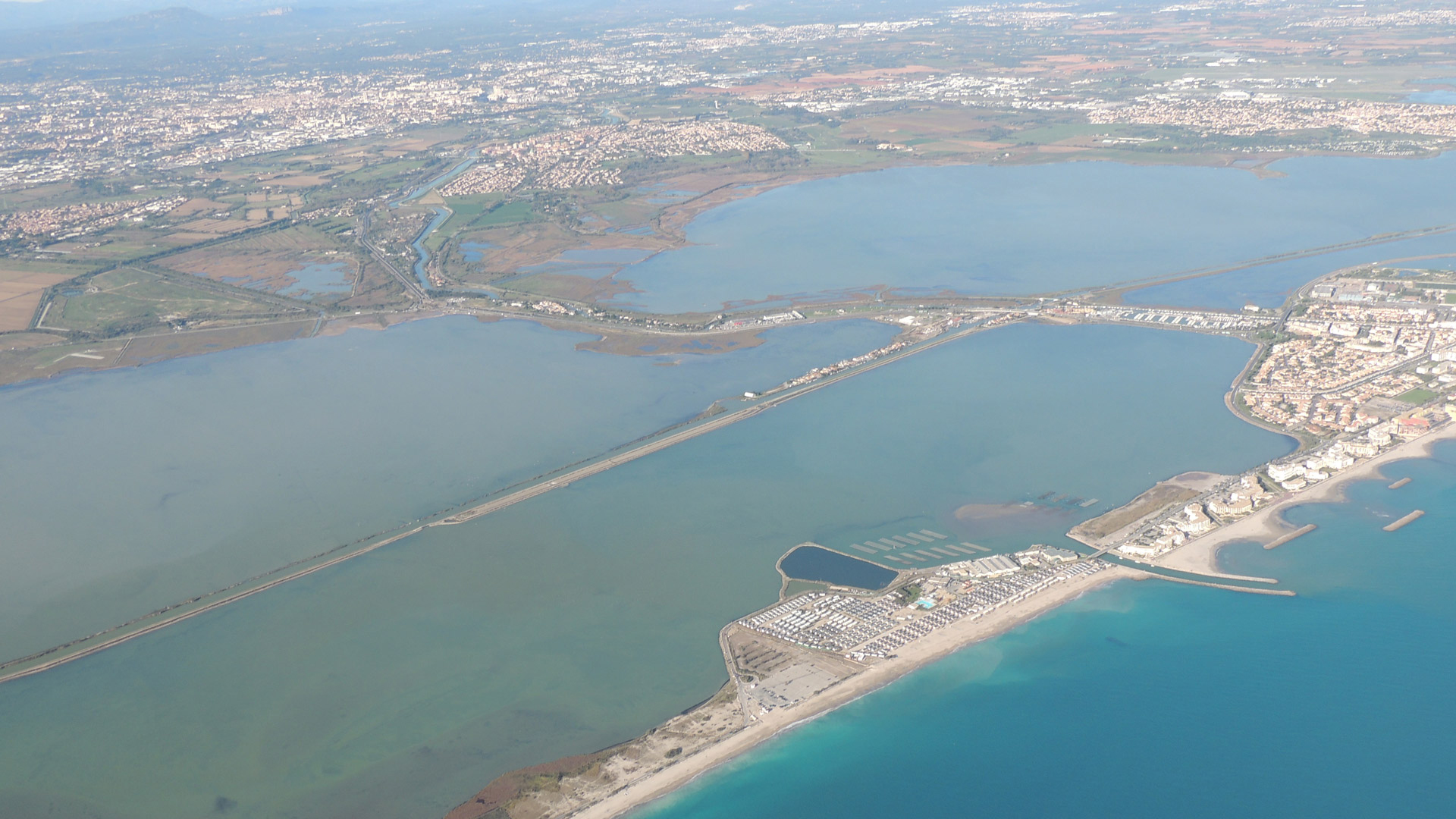
The lagoons are rich but fragile environments, with a complex functioning and particularly exposed to physical pressures and pollution due to the strong anthropization of their watersheds. Restoration stakes are high and clearly identified in the SDAGE (Schéma Directeur d’Aménagement et de Gestion des Eaux) in order to progress towards the good status required by the WFD (Water Framework Directive).
The monitoring carried out on lagoons within the framework of the Water Framework Directive (WFD) concerns all lagoons, from the most marinated (monitoring carried out by Ifremer since 2006) to the most desalinated (monitoring carried out by the Tour du Valat since 2013 – after a preliminary project in 2010). The monitoring program required by the WFD makes it possible to follow the evolution of the status of water bodies and the effects of the implementation of actions to regain good status. Given the specific challenges of the lagoons – more than 85% are not in good condition – a significant monitoring effort has been undertaken on these environments.
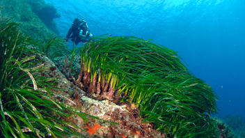
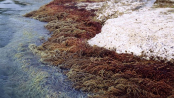
Monitoring has enabled the acquisition of numerous data on biology and chemistry. The data concerning biology concern phytoplankton, macrophytes and the benthos of the soft substrate as well as the physico-chemistry of the water which constitutes a supporting parameter for biology. They constitute the descriptors of the ecological status. The status of the water body is given by the status of the most degraded descriptor. The data concerning chemistry (priority metallic and organic contaminants) come from monitoring carried out in the biota (mussel cagging based on the RINBIO methodology) and in the water (passive integrative samplers). The values of each priority substance are compared to the Environmental Quality Standards (NQE) to establish the chemical status. A water body is considered to have good chemical status when no concentration of a priority pollutant exceeds its NQE.
Maps of the chemical status, ecological status and general status, as well as chemical (living matter and water) and ecological (hydrology, phytoplankton, macrophytes, benthos) descriptors of the water bodies can be seen for the years 2006 to 2018, on the platform, by clicking on the “Access the maps” button, just below.
Contacts : Anaïs Giraud (anais.giraud@eaurmc.fr) / Nicolas CIMITERRA (Nicolas.Cimiterra@ifremer.fr) /
Dominique MUNARON (dominique.munaron@ifremer.fr) / Olivier Boutron (boutron@tourduvalat.org)
Project Leader : AERMC – https://www.rhone-mediterranee.eaufrance.fr/ ; Ifremer – https://wwz.ifremer.fr et la tour du Valat – https://tourduvalat.org
Frequency of updating : Every three years under the WFD
Partners : Rhône Méditerranée and Corse Water Agency, IFREMER, Tour du Valat
Study reports
[2006] Corse / Rhône & côtiers méditerranéens
[2009] Corse / Rhône & côtiers méditerranéens
[2012] Corse / Rhône & côtiers méditerranéens
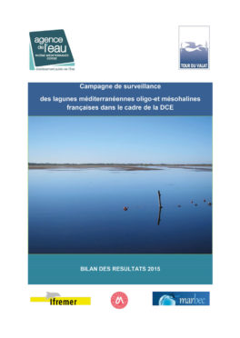
[2015] MET Poly-Euhalines : Corse, Rhône & côtiers méditerranéens / MET Oligo-Mésohaline : Rhône & côtiers méditerranéens
[2018] MET Poly-Euhalines : Corse, Rhône & côtiers méditerranéens / MET Oligo-Mésohaline : Rhône & côtiers méditerranéens
[2021] MET Poly-Euhalines : Corse, Rhône & côtiers méditerranéens / MET Oligo-Mésohaline : Rhône & côtiers méditerranéens
