© Air Attack Technologies
AERIAL OBSERVATORY OF USES IN THE MEDITERRANEAN
The MEDOBS observatory is an aerial observatory of the uses in the sea conducted through a partnership between Air Attack Technologies and the Rhone Mediterranean Corsica Water Agency.
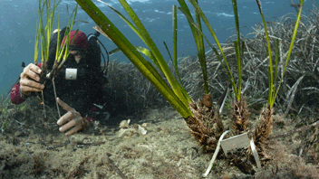
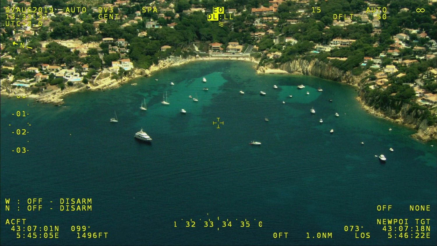
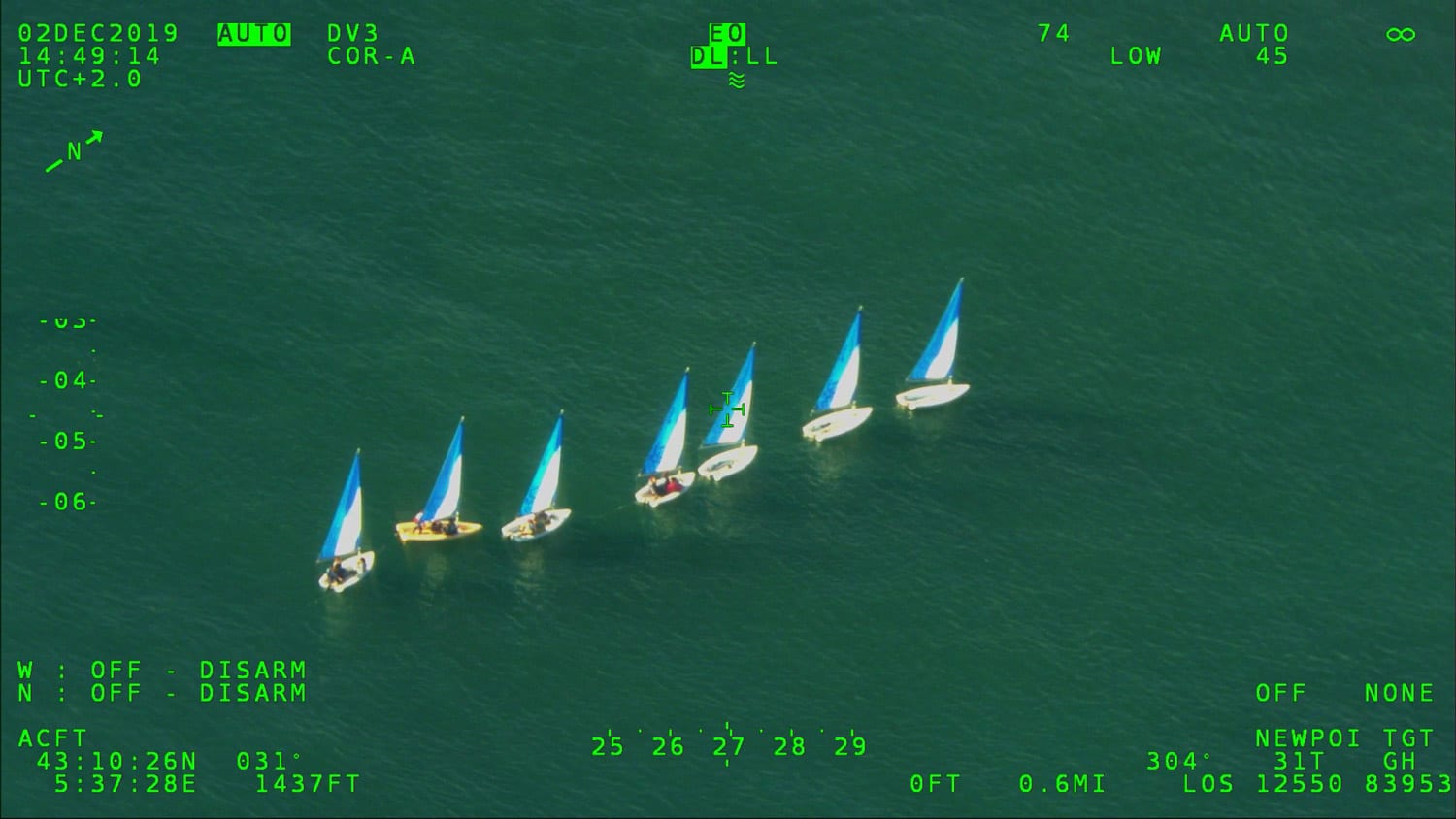
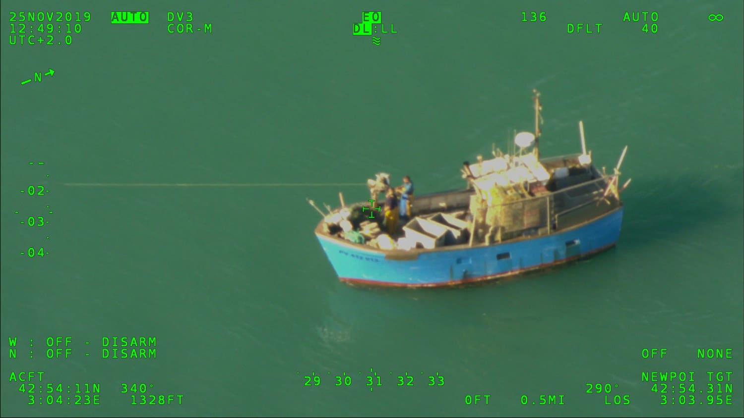
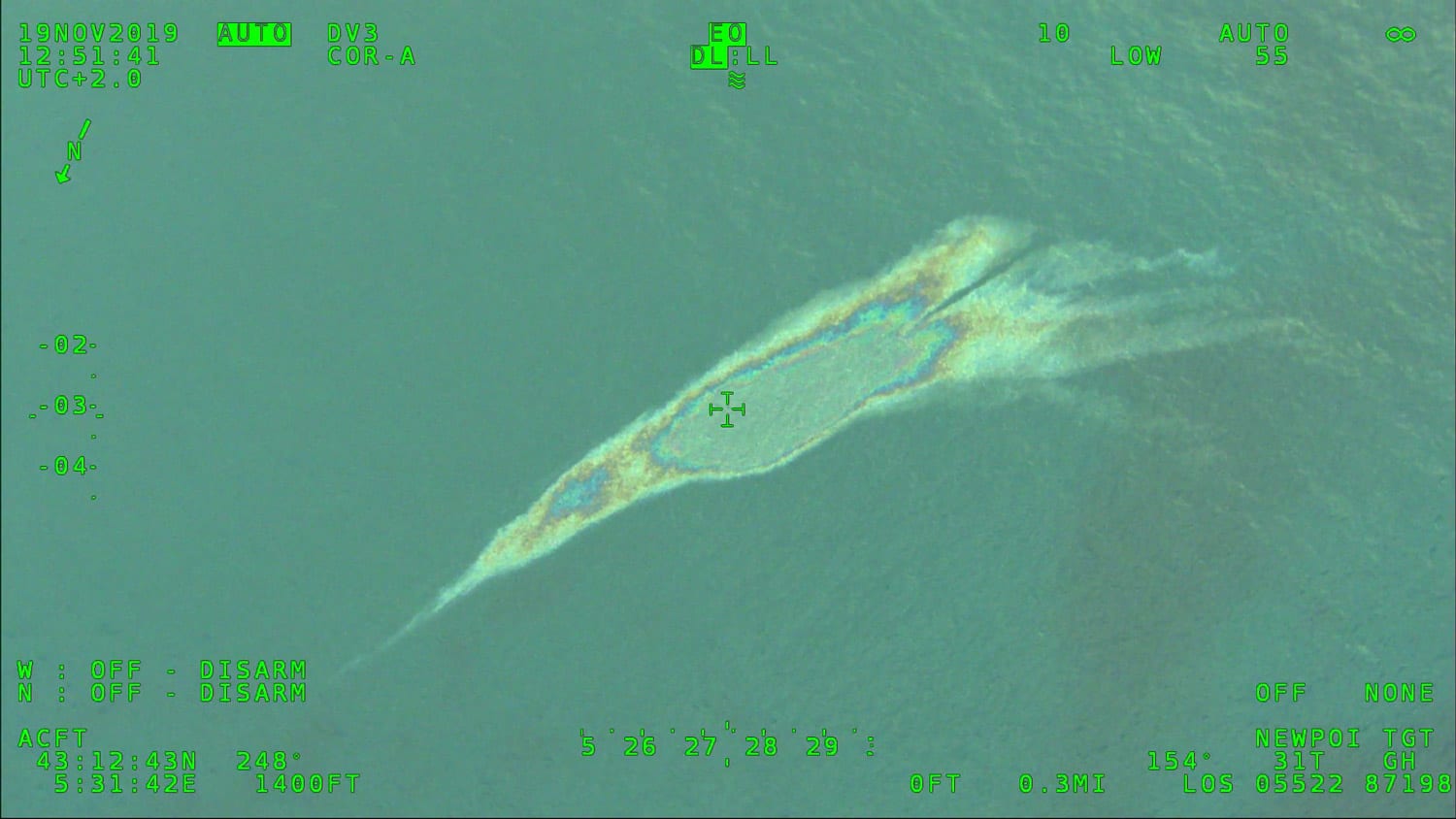
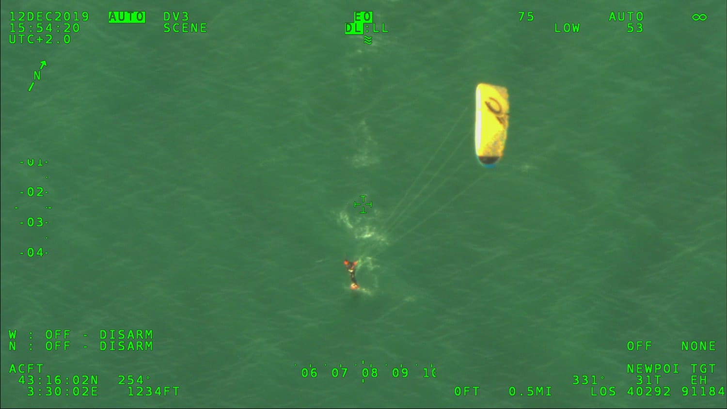
With the help of a digital camera embarked in a plane dedicated to data acquisition, information related to the location and quantification of pressures of uses in the sea : water sports and small yachting (sailboat, yachtsman, regatta), aquaculture farms, fishing (leisure and professional), scuba diving (scuba diving + snorkeling) and large yachting (Yatch + Mega Yatch) and more particularly of the mooring of pleasure boats are referenced and geolocated. Information related to the presence of pollution, river plumes (following intense rain events) and marine fauna (marine mammals and birds, tuna…) are also recorded.
The objective of the network is to appreciate the phenomena of pressure occurrences on the territory. It is not intended to monitor exhaustively and in great detail all the uses that are made of the environment over time. The information collected and associated with the sensitivity of the environment (depending on the characteristics of the site) allows for a better identification of the areas at stake (alteration of biocenoses, conflicts of use, etc.), and to work on the organization of uses.
Monitoring has been carried out on the coastal edge of the Rhone-Mediterranean and Corsica basins (3 nautical mile zone) since 2011 and has been extended to the open sea of the basin (Pelagos and canyon heads) since 2014. The network was put into routine in 2012, which explains why certain activities at sea do not appear in 2010 and 2011. The data acquisition period is from May to October.
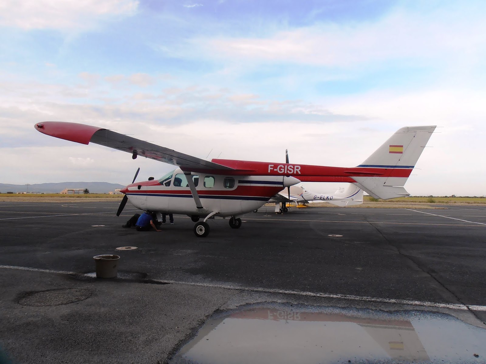
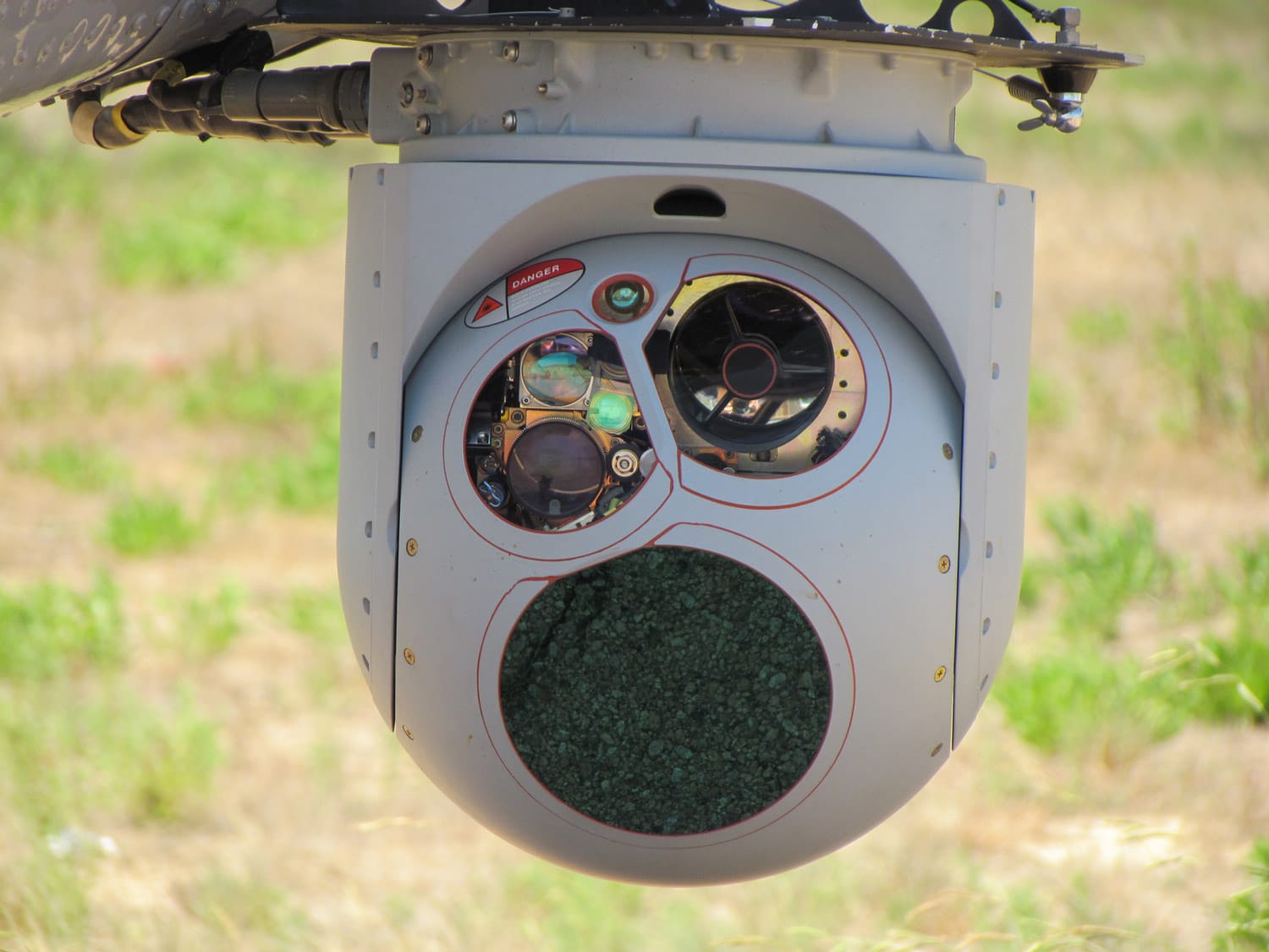
Observations are made with an aircraft equipped with a high performance gyrostabilized camera with a high accuracy in georeferencing. The data are incremented directly in the software during the flights. A large number of flights are carried out in order to have robust data sets (170 hours of flight performed each year between May and October).
The years 2010 – 2011 have allowed to define the expectations, the objectives, and the exact content of the network (choice of monitoring indicators, routes and flight frequencies). The MEDOBS observatory is operational since 2012, several indicators are monitored during the flights :
– anchorage areas (location with count of boats present, percentage distribution sail/motor and small/medium/large) ;
– the presence of nautical leisure activities (kayaking, jet skiing, windsurfing, kite surfing, parasailing, paddle boarding, wake boarding, towed buoys, fly surfing and sailing) and scuba diving (scuba diving + freediving)
– the location of recreational and professional fishing (fishing boats, fishing nets, fish farms) ;
– the location of small (sailboat, yacht, regatta) and large yachts (Yacht + Mega Yacht)
– the detection of pollution (telluric, hydrocarbons, mixed, macro-waste, etc.)
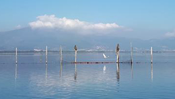
– the presence of marine fauna (mammals/seabirds, tuna)
We can distinguish, at the geographical level, two scales of monitoring :
– coastal” monitoring, where the data acquired aim to better characterize the areas of pressure occurrence and to orientate the management and protection policies to be put in place ;
– the “open sea” monitoring, less frequent, where the data acquired mainly provide general knowledge on the marine environment (tuna, marine mammals, maritime traffic…).
Maps by use are visible in this project for each year since 2010, you can consult them directly on the platform by clicking on the button “Access to maps“, just below.
© Air Attack Technologies
Contacts : Cédric Soriano – ops@airattack.f Et Pierre Boissery – pierre.boissery@eaurmc.fr
Project Leader : Agence de l’eau Rhône-Méditerranée Corse – http://www.eaurmc.fr
Update frequency : Annual
Partners : Rhone Mediterranean and Corsica Water Agency