MODELING OF COASTAL ANTHROPOGENIC PRESSURES AND VULNERABILITY THRESHOLDS
IMPACT is the network for monitoring coastal anthropogenic pressures in the French Mediterranean, operated by Andromède océanologie with the support of the Rhône Méditerranée et Corse Water Agency.
Human activities exert considerable pressure on the marine environment, and on coastal ecosystems in particular. The spatial models available here aim to improve our understanding of the links between human pressures and the status of coastal ecosystems. By spatially correlating these data, it becomes possible to model the extent and interaction of anthropogenic pressures on the marine environment on a large scale (the French Mediterranean).
This model could be used in various fields :
(1) Decision support by targeting areas with high environmental stakes
(2) Basis for the development of ecological indicators
(3) Predictive tool for the management of the coastal zone.
___________________________________________________________________________________________
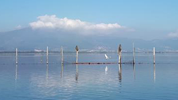
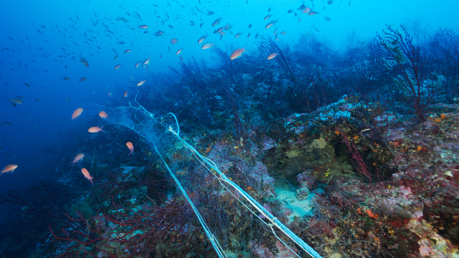
In 2015 ten anthropogenic pressures were considered for their origin and intensity : urbanization, coastal developments, boat mooring, population, coastal erosion/aggradation, agriculture, industrial effluents, aquaculture, fisheries and urban discharges.
In 2018 and 2021, an update of the pressure maps was completed.
Thirteen anthropogenic pressures are now considered in terms of their origin and intensity: urbanization/population, coastal development, small-boat mooring, large-boat mooring, coastal erosion/aggradation, agriculture, industrial effluents, aquaculture, non-trawl professional fishing, seaside tourism, maritime traffic, river pollution and urban discharges. They are represented on a gradient from 0 (no pressure) to 1 (maximum pressure).
Spatial data of pressures and eleven different marine habitats (DONIA expert project) are then assembled and cumulative impact scores (sum of pressures and their impacts according to the dominant habitat of the pixel) are calculated per pixel according to the methodology of Micheli et al (2013) and Halpern et al (2008).
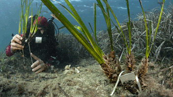
In order to better understand the relative impact of the different pressures on the decline of Posidonia meadows, the data are transformed to a 50 x 50 m grid (the initial grid and a 100 x 100 m cell grid giving worse results). The rate of decline (=% of dead matte, null values excluded from the analysis) is then modeled as a function of pressure and depth using the “Random Forests” method (Breiman, 2001 ; Richard Cutler et al., 2007). A threshold effect (non-linear relationship) is sought for each pressure and the distance to the threshold is calculated in each pixel and then scaled -1 to 1 (threshold = 0). A combination of the layers of the different threshold distances according to the pressures is constructed and visualized in four equal categories (-1 to 0.5 ; 0.5 to 0 ; 0 to 0.5 and 0.5 to 1).
Anchorage pressure was updated : two maps of anchorage pressure were produced : one map for small pleasure craft (vessels up to 24 m in length), and one map for the anchorage of large units. The pressures from coastal population and urbanization were combined into a single pressure “urbanization and population”. Three new pressures were added to the project, namely beach tourism, marine traffic and river pollution.
The methodology used in this project for the calculation of pressure maps, cumulative pressures and cumulative impacts is detailed in the scientific publication : Fine-Scale Cartography of Human Impacts along French Mediterranean Coasts: A Relevant Map for the Management of Marine Ecosystems (Holon et al, 2015).
Indeed, the cumulative impacts layer corresponds in terms of methodology to the Ic layer of the Holon et al 2015 publication :
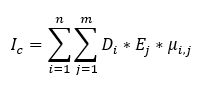
–> “Ej” is the presence or absence of habitat “j” ;
–> “µi,j” is the vulnerability score of habitat “j” to pressure “i“.
Using this definition, the cumulative pressure layer then corresponds to :

Mappings of the levels of exceedance of the seagrass vulnerability thresholds as a function of different pressures(A predictive model based on multiple coastal anthropogenic pressures explains the degradation status of a marine ecosystem: Implications for management and conservation (Holon et al., 2018)) will be added to the project shortly.
This work is licensed under a Creative Commons Attribution-NonCommercial-NoDerivs 3.0 Unported License.
Contacts : Thomas Bockel (thomas.bockel@andromede-ocean.com) / Florian Holon
Project Leader : Andromède Océanologie – www.andromede-ocean.com
Update frequency : Every three years
Partners : University of Montpellier, and Rhone Mediterranean and Corsica Water Agency
Study reports

Associated scientific publications
• Impact of 85 years of coastal development on seagrass beds (Holon et al., 2015a)
• Fine-Scale Cartography of Human Impacts along French Mediterranean Coasts (Holon et al., 2015b)
• Interactions entre écosystèmes marins et pressions anthropiques (Holon 2015)
• Boat anchoring pressure on coastal seabed using AIS data (Deter et al., 2017)
• A predictive model based on coastal anthropogenic pressures (Holon et al., 2018)
• Anchoring pressure and the effectiveness of new management measures quantified using AIS data and a mobile application. Marine Pollution Bulletin (Bockel T, Marre G, Delaruelle G, et al, 2023)