MONITORING OF POSIDONIA MEADOWS IN THE FRENCH MEDITERRANEAN
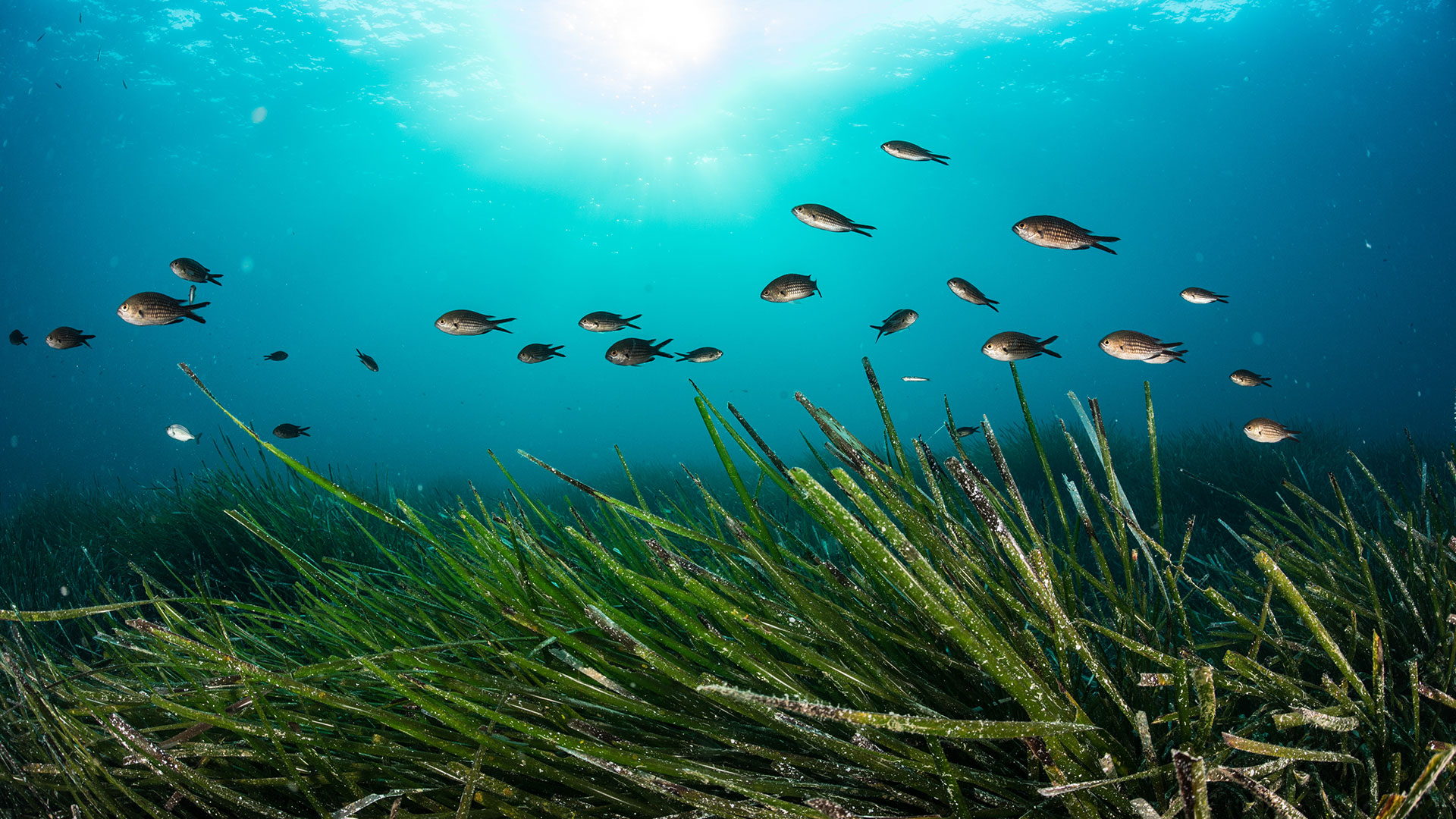
TEMPO is the network for monitoring Posidonia meadows in two characteristic sectors of this key Mediterranean ecosystem: the lower limit (deepest extension limit) and the intermediate depth (-15 meters; representative depth of the meadow in the Mediterranean; Gobert et al., 2009). This network has been operated since 2011 by Andromède Océanologie, with the support of the Agence de l’eau Rhône Méditerranée et Corse. It covers the entire French Mediterranean coastline, bordered by the three regions of Corsica, Sud and Occitanie. Its objectives are to collect descriptive data on the ecological status and functioning of Posidonia meadows, and to monitor their evolution over time and space.
TEMPO currently includes 73 sites located at the lower limit of the meadows, between 5 and 40 m, and 52 sites located at intermediate depths (around -15 m). Each year, one region is monitored in late spring (May-June), so that the entire coastline is covered every three years. All TEMPO sites are also monitored for background temperature (CALOR network), and some for fish (PISCIS network) and acoustic listening (CALME network operated by Chorus). Indicators of the bioacoustic status of seagrass sites (invertebrates, fish, target species (=corbs) and anthroposation index) for the period 2021-2023 from this CALME network are added to the project.
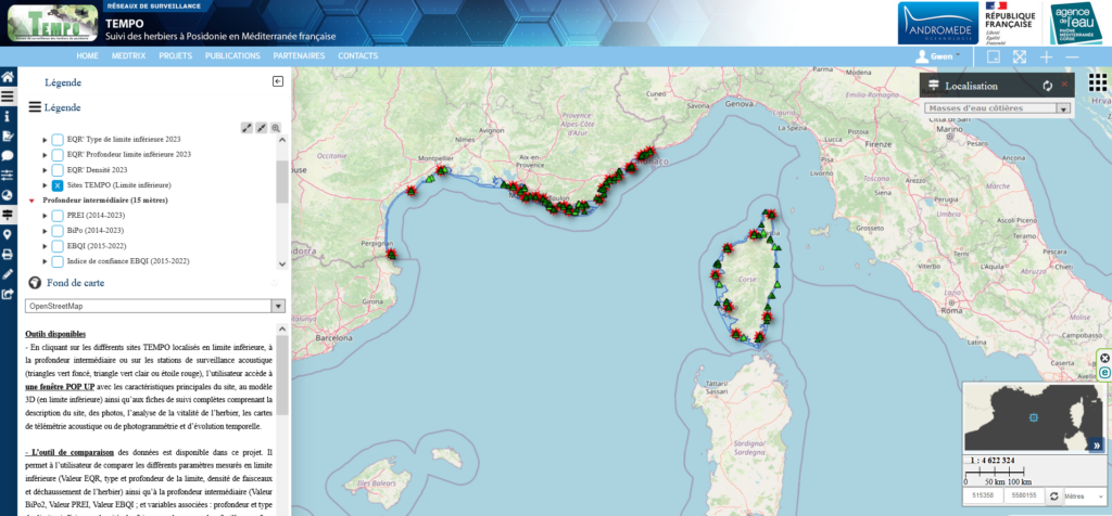
TEMPO includes sites located at the lower limit of the seagrass beds (between 5 and 40 meters depth) and sites located at intermediate depths (around -15 m). Some sites are monitored acoustically.
Descriptive data on the health and dynamics of P. oceanica meadows are collected on two characteristic areas : at the lower limit (LI) and, since 2014, at the intermediate depth of -15 meters (PI). A descriptive leaflet (Material and methods) of this monitoring network is available on the website.
– In LI, vitality measurements (density and unraveling of the clusters, type and depth of the boundary) are carried out, surveys of the pressures observed, as well as a mapping of the meadow. Between 2011 and 2016, only acoustic telemetry was used to map the lower limits of seagrass beds. Between 2016 and 2023, photogrammetry was used to study and monitor marine habitats, and in particular to model lower limits. Since 2023, only this method has been used for micro-mapping. It enables us to freeze the state of this habitat over time, and thus plays a role in the banking of the ecological heritage of the sites monitored. All these data are used to calculate a surface evolution index for the meadow, an EQR (Ecological Quality Ratio) and an indicator of the evolutionary dynamics of the meadow, in order to determine the ecological status of each site at the lower limit.
– At the PI, three indicators are used to characterize the state of health of seagrass beds and thus assess the ecological quality of coastal water bodies : the PREI (Posidonia oceanica Rapid Easy Index ; Gobert et al., 2009), established according to WFD requirements and integrated into the TEMPO network in 2014 ; the BiPo (Biotic index based on P. oceanica ; Lopez y Royo et al., 2010) and the EBQI (Ecosystem-Based Quality Index ; Personnic et al., 2014), which were integrated in 2015. These sites are in line with existing TEMPO sites at the lower edge of the meadow.
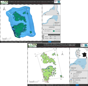
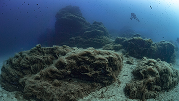
Examples of photogrammetric mapping of a seagrass site at the lower limit of the TEMPO network in 2023 and mapping of the evolutionary dynamics of the seagrass between 2020 and 2023 on the same site.
According to the PREI protocol, two characteristic sectors of the meadow are monitored (five parameters are measured) : the lower limit (existing TEMPO site) and the intermediate depth. PREI requires sampling of seagrass clusters in situ, which are then analyzed in the laboratory. Very similar to PREI, the BiPo2 index allows the ecological status of each site to be determined by taking into account four parameters based on the health of the P. oceanica plant itself. The EBQI is based on a model of ecosystem functioning that takes into account its different compartments (= “boxes”) : posidonia, algae, herbivores, organic matter, small fauna, small and large predators, seabirds, and the interactions between these compartments. This index requires the in situ sampling of posidonia leaves that are then analyzed in the laboratory.
By clicking on the button “Access the maps” just below, you will find more details on the indicators used at intermediate depth, links to the different scientific publications : PREI indicator (Gobert et al., 2009), BiPo indicator (Lopez Y Royo et al., 2010) and EBQI indicator (Personnic et al., 2014) and two scientific publications by Descamp et al. (2005 and 2010) concerning the acoustic telemetry method.
Contact : Gwenaëlle Delaruelle (gwenaelle.delaruelle@andromede-ocean.com)
Project leader : Andromède Océanologie – andromede-ocean
Update frequency : Annual monitoring by region (each region, Occitanie/PACA West, PACA East and Corsica, is monitored every three years).
Partners : Rhone Mediterranean and Corsica Water Agency
Study reports

Associated scientific publications
• Ecological status assessment using P. oceanica (PREI) (Gobert et al., 2009)
• Acoustic telemetry for monitoring P. oceanica (Descamp et al., 2010)
• A biotic index using P. oceanica (BiPo) (Lopez Y Royo et al., 2010)
• An Ecosystem-Based Approach to Assess the Status of a Mediterranean Ecosystem (EBQI) (Personnic et al., 2014)
• Impact of 85 years of coastal development on seagrass beds (Holon et al., 2015)
• Posidonia ecosystem services economical value (Campagne et al., 2015)
• Monitoring Marine Habitats With Photogrammetry (Marre et al., 2019)
• Préservation des posidonies: les ressorts d’une collaboration efficace (Julie Deter et al.,2022)